

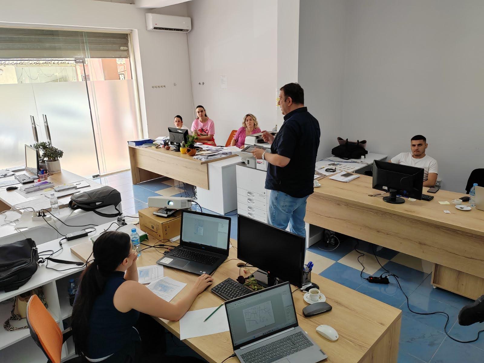
The WPIP/MIP V Institutional Consultant team successfully carried out a four day training (17-21 July) on GIS (Geographic Information System Technology) for Vlorë Regional Water and Sewerage Company staff. During the training, 4 staff of the UKR Vlorë were trained.
The compentent use of GIS presents a valuable tool in the ongoing efforts, to reduce the high level of Non Revenue Water (NRW). In addition to the continuous support of the National Water and Sewerage Agency to the regional companies for the termination of illegal connections and the purchase of specific active leakage control devices, the use of GIS can contribute essentially to the reduction of losses in the network.
The Institutional Consultant team prepared the GIS database of the Vlorë Region Water and Sewerage using all available data which was used as the initial database for the Geographic Information System. In addition to geographic elements, the initial GIS database prepared by the Institutional Consultant contains more than 380 kilometres of distribution network, map positioning of 42 reservoirs, 32 pumping stations, 21 springs and wells, 36 bulk meters, 167 hydrants, a chlorination station, more than 170 kilometres of sewers and over 4300 sewers.
This activity lasted for four days where, in parallel with the training of 4 trainees of UKR Vlora, 3 experts of the Institutional Consultant were trained as future GIS trainers.
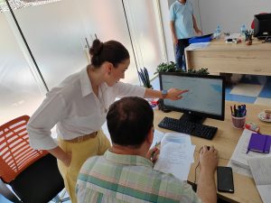
Direct on the job training is a powerful training approach
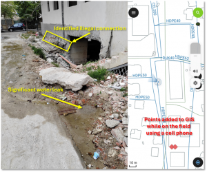
The GIS system is a powerful tool to map all leakages and any other relevant locations (water quality sampling points, disconnections of water meters, locations of illegal connections etc.)